
 TR
TR


Marka
:
Slamtec
Ürün Kodu
:
23647
Tükendi
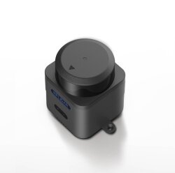
Gelince Haber VerSlamtec Mapper M2M3 Lidar Haritalama ve Konumlandırma Sensörü
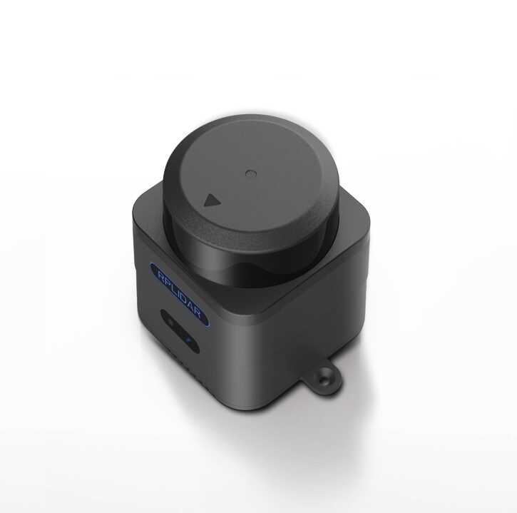
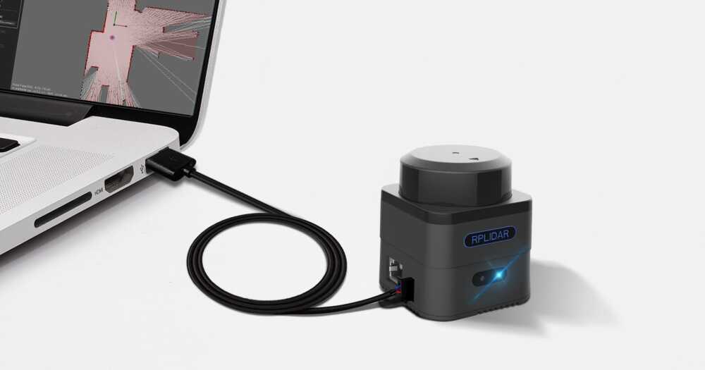
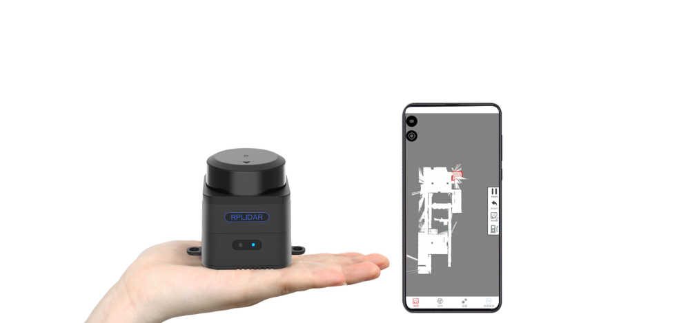
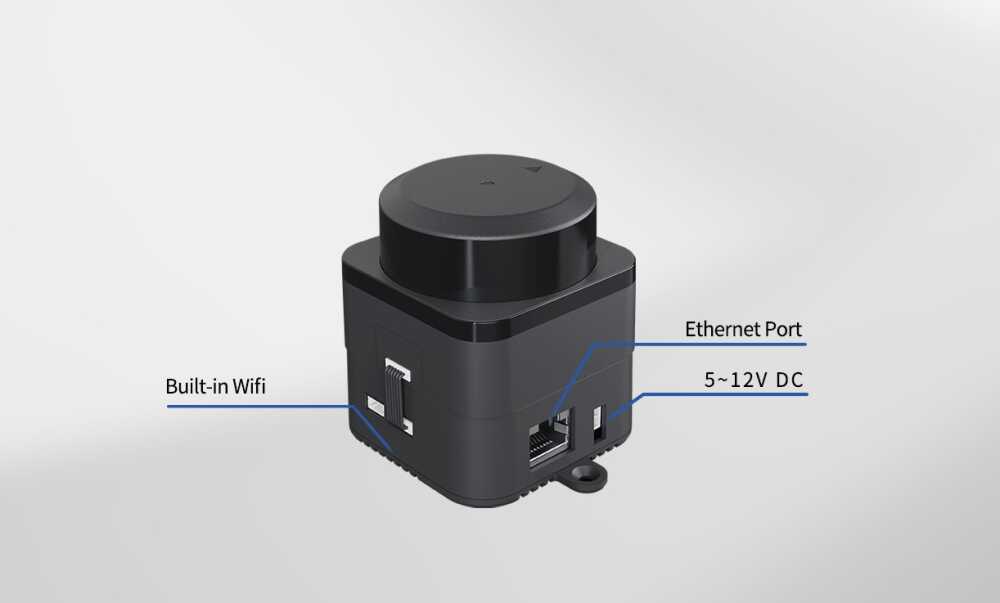
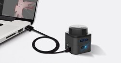
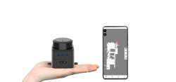
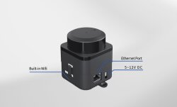
Slamtec Mapper M2M3 Lidar Haritalama ve Konumlandırma Sensörü, SLAMTEC tarafından geliştirilen ve robotlar ile endüstriyel uygulamalar için tasarlanmış yenilikçi bir 360 derece lazer tarayıcıdır. Gelişmiş SLAM teknolojisi ile donatılmış bu cihaz, gerçek zamanlı haritalama ve konumlandırma sunarak 40 metreye kadar ölçüm mesafesi sağlar. Kompakt ve kullanımı kolay tasarımı sayesinde, iç mekanlarda ve dış mekanlarda güvenilir performans sergiler. Ticari robotlar, açık alan robotları, çevre tarama ve el tipi haritalama gibi alanlarda idealdir. Dahili Wi-Fi ve Ethernet bağlantısıyla verilere kolayca erişim sunar ve ROS ile tam uyumludur. Ayrıca, insan gözü için güvenli Sınıf 1 lazer standardına sahiptir.


Slamtec Mapper M2M3 Lidar Haritalama ve Konumlandırma Sensörü Teknik Özellikleri:
Ölçüm Mesafesi: 0.1 m - 40 m
Örnekleme Frekansı: 10 KHz
Dönüş Hızı: 10 Hz
Açısal Çözünürlük: 0.36°
Motor: Fırçasız
Boyutlar: 77.1 x 57 x 65.5 mm
Ağırlık: 163 g
Sistem Voltajı: 5 V
Sistem Akımı: 650 mA - 1300 mA
Güç Tüketimi: 3.25 W - 6.5 W
Çıkış: Ethernet (802.3/802.3u), Wi-Fi (802.11a/b/g/n/ac)
Çalışma Sıcaklığı Aralığı: -5°C - 45°C
Açısal Aralık: 360°
Mesafe Çözünürlüğü: 1 cm
Doğruluk: ≤3 cm
Maksimum Hareket Hızı: 2 m/s
Veri Yenileme Frekansı: 10 Hz
Maksimum Alan: 300 m x 300 m
Haritalama Çözünürlüğü: 0.05 m
Doğruluk: < 0.02 m
Grafik Optimizasyon Çalışma Süresi: Yaklaşık 1 saat
Maksimum Eğim Açısı: ±3°
Önerilen Kullanım Alanları: Ticari robotlar, açık alan robotları, çevre tarama, el tipi haritalama

Faydalı Linkler / Dokümanlar:
Benzer Ürünler: